Riding the Ormond Scenic Loop & Trail
Ormond Scenic Loop & Trail: a 26-mile backroads loop starting at Granada Blvd at A1A, Ormond Beach. Plan on about 1 hr of riding, plus stops.
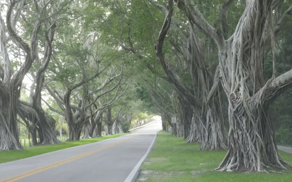
Florida named this loop a state scenic highway in 2007, and it is the easiest escape from rally traffic. Start on A1A in Ormond Beach and head north along the ocean past North Peninsula State Park. Turn west on High Bridge Road, a two-lane that winds through trees with views of Bulow Creek, then follow Walter Boardman Lane to Old Dixie Highway. Head south past Bulow Creek State Park and into Tomoka State Park, where the road crosses the mouth of the Tomoka River. North Beach Street follows the Halifax River back to Granada Boulevard. Roads are narrow in places, so keep speeds easy and watch for cyclists and wildlife.
Open the Ormond Scenic Loop & Trail in Google Maps before you leave, and check the National Weather Service forecast for the area on the day.
Highlights
- Tree-lined High Bridge Road with views of Bulow Creek
- Old Dixie Highway and North Beach Street along the Halifax River
- Tomoka State Park and the bridge at the mouth of the Tomoka River
Route
Start
Granada Blvd at A1A, Ormond Beach
End
Granada Blvd at A1A, Ormond Beach
Check road and weather conditions before you ride. Distances and times are approximate.
On the ground
Around Daytona