US 17 Lowcountry Run to Charleston: an 86-mile highway ride from Murrells Inlet MarshWalk, Murrells Inlet, SC to Waterfront Park, Charleston, SC. Plan on about 2 hr 10 min of riding, plus stops.
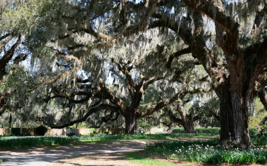
This is the classic long day south from the rally. Follow US 17 through Pawleys Island to Georgetown, where four rivers meet at Winyah Bay. South of Georgetown the road runs through quiet Lowcountry country and past McClellanville, a small fishing village on the edge of the Francis Marion National Forest. Traffic builds again as you reach Mount Pleasant and cross into Charleston. Park near Waterfront Park, walk the old streets for lunch, and fuel up before the return. It is about 86 miles each way, so plan on a full day and start early to beat the afternoon heat.
Open the US 17 Lowcountry Run to Charleston in Google Maps before you leave, and check the National Weather Service forecast for the area on the day.